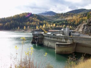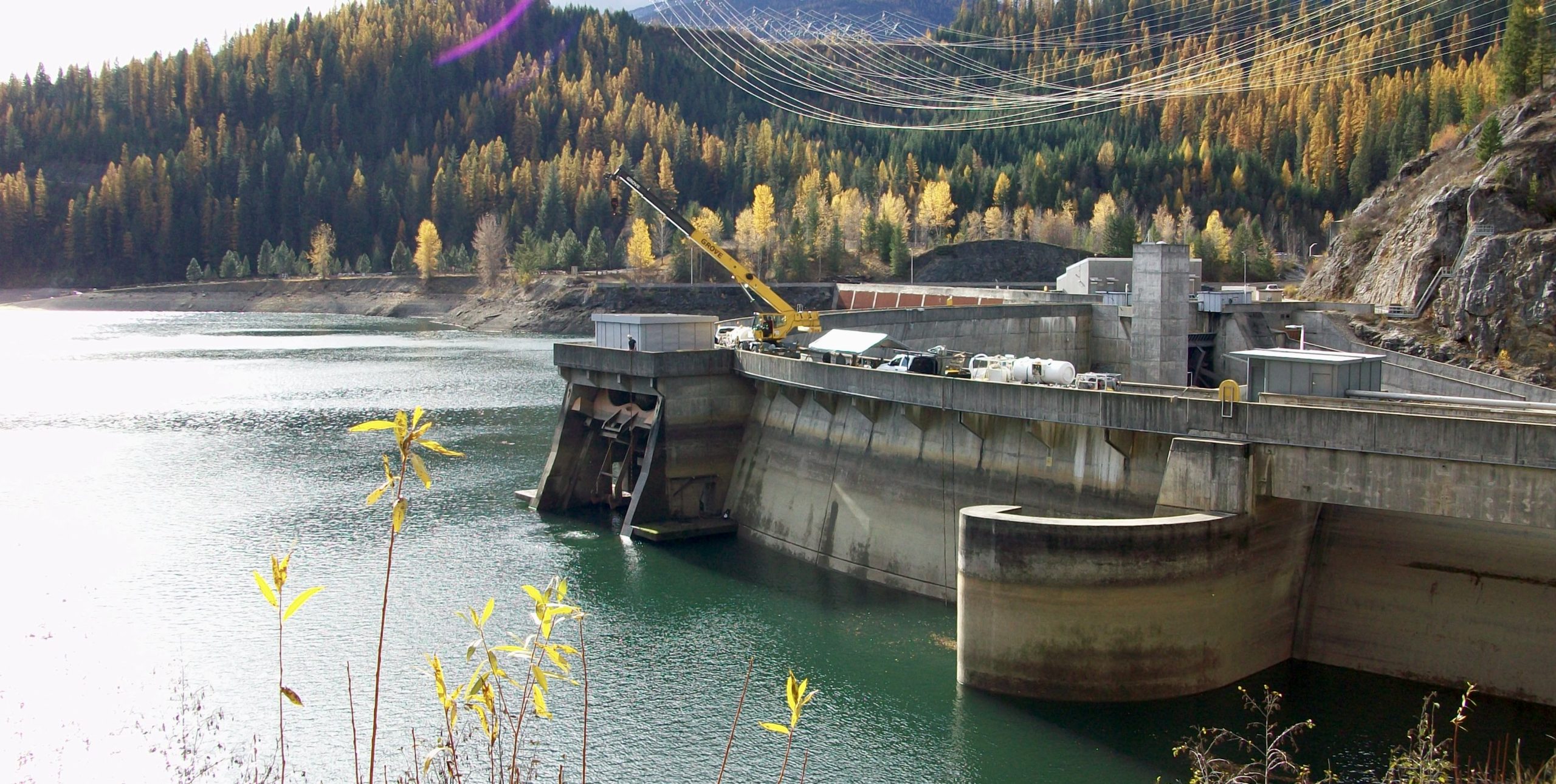
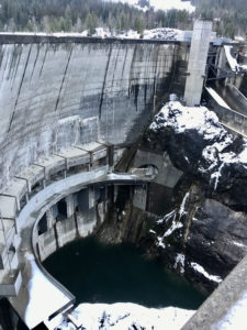
AUS was contracted through a Master Services Agreement to conduct an underwater condition survey at Boundary Dam. The survey was of the forebay north wall and the mouth of the six intake tunnels to identify any spalls, cracks, and general concrete erosion. AUS investigated interfaces between the concrete structures and river bottom for scouring and potential undermining. The mouth of the intake tunnel was also surveyed to determine if any abnormalities in the structural components of the intake had formed which could obstruct flow. AUS teamed with ASI Marine to complete these surveys. For this project, a combination of ROV technologies and methods were utilized to perform the underwater condition surveys while collecting data to support project objectives. Equipment used on this project include: Norbit Integrated Wide Band Multi- Beam Sonar, high frequency (iWBMSh); Marine Sonic SeaScan Sonar System; Velodyne HDL-32 mobile LiDAR; and the Seaeye Falcon ROV fitted with sonar, video, and positioning.